Mynd:Sidmouth , Mowing the Grass - geograph.org.uk - 3884745.jpg
Jump to navigation
Jump to search


Stødd av hesi forskoðan: 800 × 531 pixels. Aðrar upploysnir: 320 × 213 pixels | 640 × 425 pixels | 1,024 × 680 pixels | 1,280 × 850 pixels | 4,288 × 2,848 pixels.
Upprunafíla (4,288 × 2,848 pixel, stødd fílu: 6.24 MB, MIME-slag: image/jpeg)
Samandráttur
| Frágreiðing |
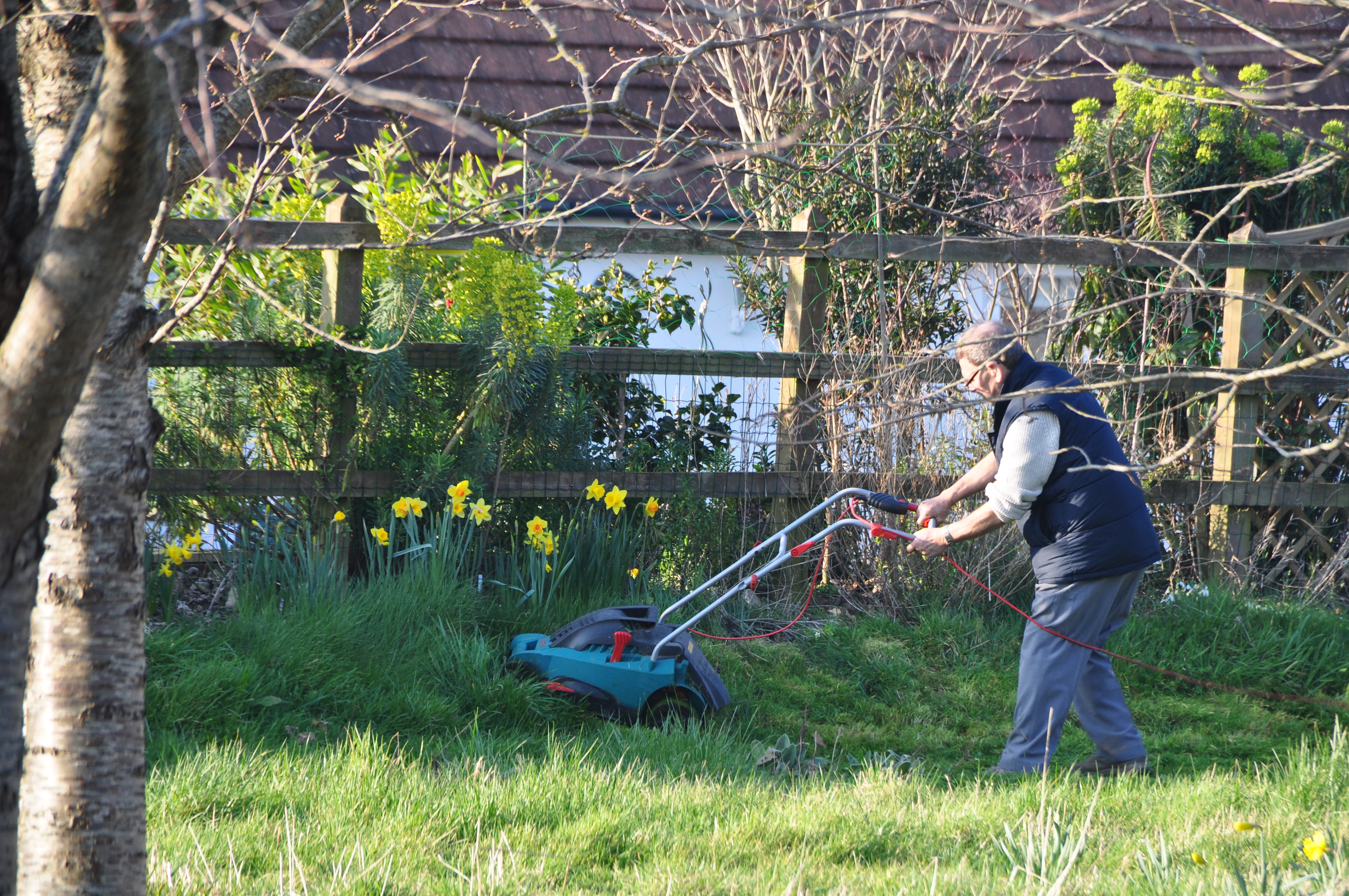
English: Sidmouth : Mowing the Grass |
| Depicts | grassland, Sidmouth |
| Dagur |
|
| Kelda |
Geograph Britain and Ireland |
| Høvundur |
Lewis Clarke |
| Location of creation | Sidmouth |
| Camera location | | View this and other nearby images on: OpenStreetMap |
|---|
| Object location | | View this and other nearby images on: OpenStreetMap |
|---|
Lisensur

|
This image was taken from the Geograph project collection. See this photograph's page on the Geograph website for the photographer's contact details. The copyright on this image is owned by Lewis Clarke
|
This file is licensed under the Creative Commons Attribution-Share Alike 2.0 Generic license.
Ognan: Sidmouth : Mowing the Grass by Lewis Clarke
- Tú ert vælkomin til:
- at deila – at avrita, breiða út og senda verkið
- at remiksa – at tillaga ella broyta verkið
- Undir hesum treytum:
- ognan – Tú mást ognarskrivað verkið á ein slíkan hátt sum er útgreinaður av høvundanum ella lisenseigaranum (men ikki á nakran hátt ið kundi bent á at hesin hevur góðkent teg ella tína nýtslu av verkinum).
- deil undir somu treytum – Um tú broytir, evnar til ella byggir víðari á hetta verk, so kanst tú bert útgeva verkið undir somu ella líkandi lisensi sum hesin.
Søgan hjá fíluni
Trýst á dato/tíð fyri at síggja fíluna, sum hon sá út tá.
| Dagur/Tíð | Lítil mynd | Dimensjónir | Brúkari | Viðmerking | |
|---|---|---|---|---|---|
| streymur | 5. okt 2022 kl. 20:12 | | 4,288 × 2,848 (6.24 MB) | GeographBot | Uploading geograph.org.uk image from https://www.geograph.org.uk/photo/3884745 |
Nýtsla av fílu
Fylgjandi síða slóðar til hesa fílu: